Flood Prediction for Costa Rica
flooding
remote sensing
google earth engine
machine learning
global south
Overview
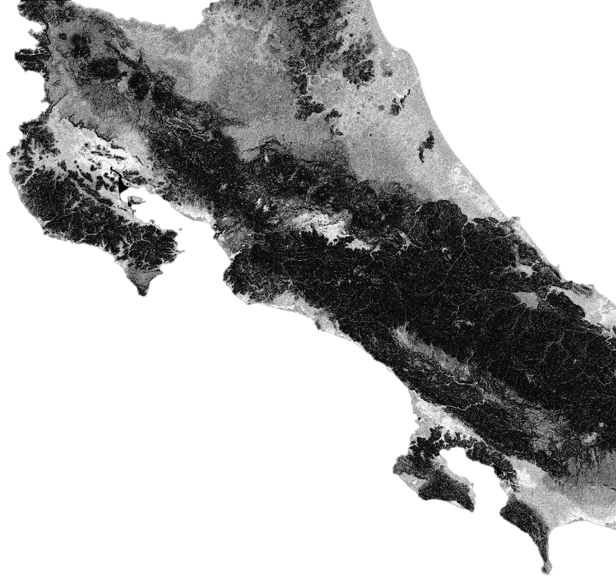
As part of a broader UN-Habitat initiative, I have been developing a methodology to predict urban flooding probabilities using open source remote sensing data and machine learning models in Google Earth Engine. This work will help urban planners in Costa Rica mitigate biodiversity loss due to urban and agricultural expansion.
Data and Model
This work builds on a UN-Spider workflow that extracts flooding data for a given date, a paper on build a municipal flood index in Costa Rica, and two papers on building deep learning-based flood prediction models in Seoul and Brisbane. Data come via Google Earth Engine and are used to train a random forest model in Google Earth Engine via the Python API.